barossi73
Gold Level Site Supporter
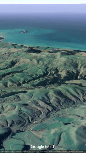
A bit of an idea of terrain around this part of the world.
Recently had a x country 3hr/6hr which used half mx track then continued out towards the ocean in a 25km loop around the back of the highest hill.On the seaward side we dropped way down into a scrubbed gully then turned back up into a 700ft loose dirt hillclimb under canopy.Top guy did 13laps in 6hrs!! (Yz250x)
I was sweep.